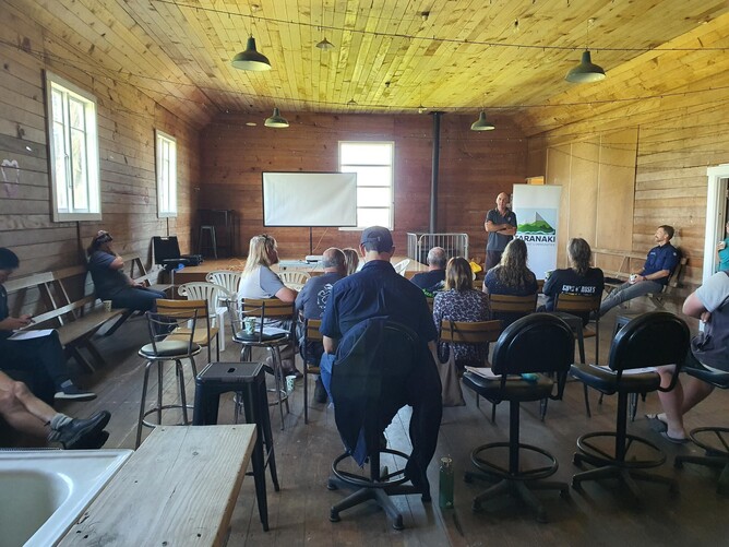
Matt Highway from Element Environmental presented a workshop on what LiDAR is, and the role it plays in establishing the use of it too:
· Undertake desktop critical source and flow path analysis.
· Identify locations and potential types of interventions throughout the entire catchment.
· Using data layers and risk mapping, map the most likely contaminant risks in the catchment.
· Created a prioritised list of interventions and management priorities for the catchment.
· Identify appropriate placement of interventions
This reporting for each Catchment group is critical to ensure the activities we undertake are in the areas where the greatest benefit is realised. Especially with an increase in adverse weather events if we can plan edge of field interventions, and strategic planting to protect the waterways as much as possible.